Research Prep Brief
Sample · Jasper County, IA
 Public satellite · source & date noted
01
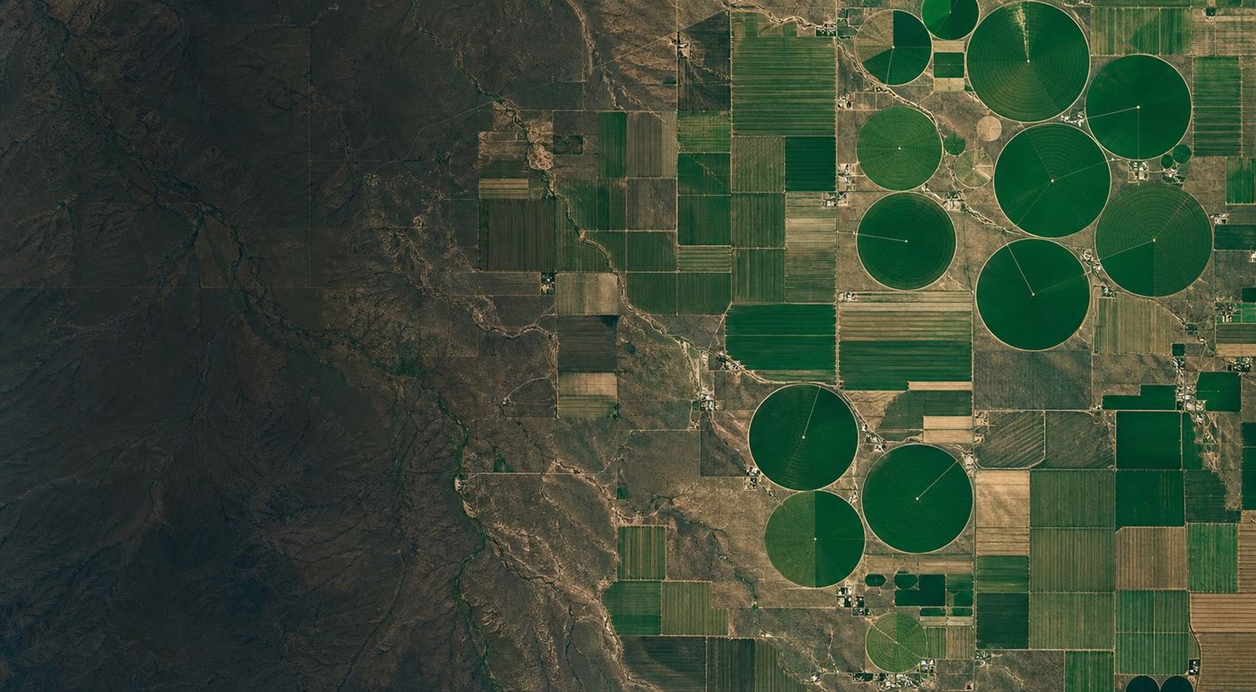
Public parcel context
What the public record and imagery show about the parcel.
02
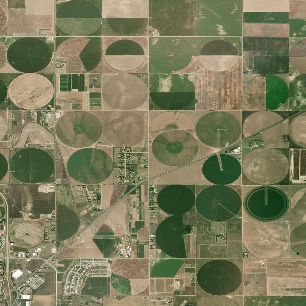
Visible features to note
Access, structures, and layout visible from above.
03
Early research question
What to line up before you open the file.
Research prep · Source / date noted